
Topografische Karte Blakeslee
Interaktive Karte
Klicken Sie auf die Karte, um die Höhe anzuzeigen.
Über diese Karte
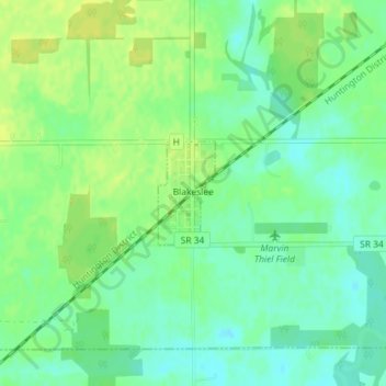
Name: Topografische Karte Blakeslee, Höhe, Relief.
Durchschnittliche Höhe: 263 m
Minimale Höhe: 253 m
Maximale Höhe: 271 m
Andere topografische Karten
Klicken Sie auf eine Karte, um ihre Topografie, ihre Höhe und ihr Relief anzuzeigen.
Columbia
United States > Ohio > Williams County > Northwest
Columbia, Northwest, Williams County, Ohio, United States
Durchschnittliche Höhe: 298 m
Northwest
United States > Ohio > Williams County > Northwest
Northwest, Williams County, Ohio, United States
Durchschnittliche Höhe: 294 m
Madison
United States > Ohio > Williams County
Madison, Williams County, Ohio, United States
Durchschnittliche Höhe: 269 m