
Topografische Karte Chintamani
Interaktive Karte
Klicken Sie auf die Karte, um die Höhe anzuzeigen.
Über diese Karte
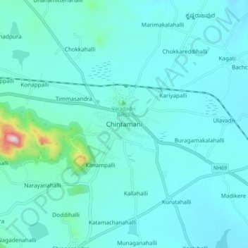
Name: Topografische Karte Chintamani, Höhe, Relief.
Durchschnittliche Höhe: 886 m
Minimale Höhe: 833 m
Maximale Höhe: 1.336 m
Chintamani lies in the southeast of the South Indian state of Karnataka. It is in the heart of the Mysore Plateau at an average elevation of 865 m (2,838 ft). The Taluk geographically lies between 78°12′36″N 13°16′38″E / 78.21000°N 13.27722°E / 78.21000; 13.27722 and 77°51′39″N 13°42′00″E / 77.86083°N 13.70000°E / 77.86083; 13.70000. The Chintamani Town lies between 13°24′N 78°04′E / 13.40°N 78.06°E / 13.40; 78.06.
Andere topografische Karten
Klicken Sie auf eine Karte, um ihre Topografie, ihre Höhe und ihr Relief anzuzeigen.
Madikere
India > Karnataka > Chintamani taluk
Madikere, Chintamani taluk, Chikkaballapura District, Karnataka, India
Durchschnittliche Höhe: 853 m