
Topografische Karte Chintamani
Interaktive Karte
Klicken Sie auf die Karte, um die Höhe anzuzeigen.
Chintamani
Chintamani lies in the southeast of the South Indian state of Karnataka. It is in the heart of the Mysore Plateau at an average elevation of 865 m (2,838 ft). The Taluk geographically lies between 78°12′36″N 13°16′38″E / 78.21000°N 13.27722°E / 78.21000; 13.27722 and 77°51′39″N 13°42′00″E / 77.86083°N 13.70000°E / 77.86083; 13.70000. The Chintamani Town lies between 13°24′N 78°04′E / 13.40°N 78.06°E / 13.40; 78.06.
Über diese Karte
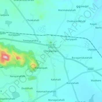
Name: Topografische Karte Chintamani, Höhe, Relief.
Durchschnittliche Höhe: 886 m
Minimale Höhe: 833 m
Maximale Höhe: 1.336 m