
Topografische Karte Parque Provincial Cordón Del Plata
Interaktive Karte
Klicken Sie auf die Karte, um die Höhe anzuzeigen.
Über diese Karte
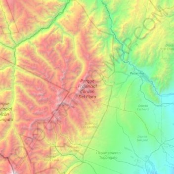
Name: Topografische Karte Parque Provincial Cordón Del Plata, Höhe, Relief.
Durchschnittliche Höhe: 3.023 m
Minimale Höhe: 1.084 m
Maximale Höhe: 6.488 m