
Topografische Karte Mina Clavero
Interaktive Karte
Klicken Sie auf die Karte, um die Höhe anzuzeigen.
Über diese Karte
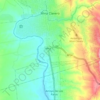
Name: Topografische Karte Mina Clavero, Höhe, Relief.
Durchschnittliche Höhe: 932 m
Minimale Höhe: 861 m
Maximale Höhe: 1.117 m
Topography of terrain, and climate of region contribute to making the town a good setting for trekking, horseback riding, ATV excursions and 4x4 crossings on different mountain roads with different levels of difficulty.