
Topografische Karte Chas
Interaktive Karte
Klicken Sie auf die Karte, um die Höhe anzuzeigen.
Chas
Chas is located at 23°38′N 86°10′E / 23.63°N 86.17°E / 23.63; 86.17. It has an average elevation of 210 metres (688 feet). The municipality is situated on the banks of Garga river. Chas is located at the junction of National Highway 23 and National Highway 32. The Dhanbad-Bokaro-Ranchi Expressway also passes through it.
Über diese Karte
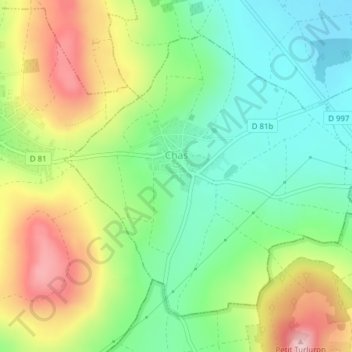
Name: Topografische Karte Chas, Höhe, Relief.
Durchschnittliche Höhe: 413 m
Minimale Höhe: 323 m
Maximale Höhe: 551 m