
Topografische Karte Kampung Bakar Bata
Interaktive Karte
Klicken Sie auf die Karte, um die Höhe anzuzeigen.
Über diese Karte
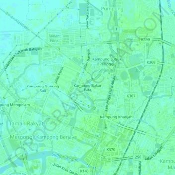
Name: Topografische Karte Kampung Bakar Bata, Höhe, Relief.
Durchschnittliche Höhe: 5 m
Minimale Höhe: 1 m
Maximale Höhe: 8 m
Andere topografische Karten
Klicken Sie auf eine Karte, um ihre Topografie, ihre Höhe und ihr Relief anzuzeigen.
Kampung Khatijah
Malaysia > Kedah > Alor Setar > Kampung Khatijah
Kampung Khatijah, Alor Setar, Kota Setar, Kedah, 05100, Malaysia
Durchschnittliche Höhe: 5 m
Kampung Batin
Malaysia > Kedah > Alor Setar > Kampung Batin
Kampung Batin, Alor Setar, Kota Setar, Kedah, 05150, Malaysia
Durchschnittliche Höhe: 4 m
Alor Semadom
Malaysia > Kedah > Alor Setar
Alor Semadom, Alor Setar, Kota Setar, Kedah, 05200, Malaysia
Durchschnittliche Höhe: 5 m