Topografische Karte Ancien fournil
Interaktive Karte
Klicken Sie auf die Karte, um die Höhe anzuzeigen.
Über diese Karte
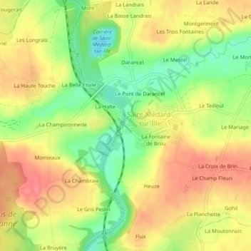
Name: Topografische Karte Ancien fournil, Höhe, Relief.
Durchschnittliche Höhe: 78 m
Minimale Höhe: 36 m
Maximale Höhe: 112 m

Klicken Sie auf die Karte, um die Höhe anzuzeigen.
Name: Topografische Karte Ancien fournil, Höhe, Relief.
Durchschnittliche Höhe: 78 m
Minimale Höhe: 36 m
Maximale Höhe: 112 m