
Topografische Karte Balzac
Interaktive Karte
Klicken Sie auf die Karte, um die Höhe anzuzeigen.
Balzac
Balzac occupies the interior of a wide bend of the Charente. The bedrock of the large eastern half of the commune, which is the highest in altitude, consists of limestone dating from the Upper Jurassic (Kimmeridgian) period.
Über diese Karte
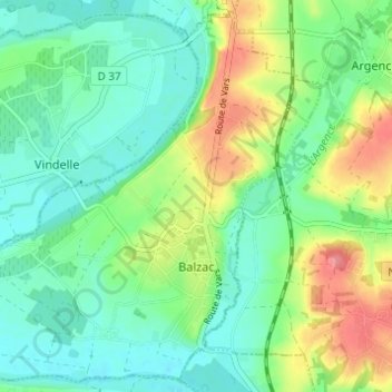
Name: Topografische Karte Balzac, Höhe, Relief.
Durchschnittliche Höhe: 55 m
Minimale Höhe: 28 m
Maximale Höhe: 112 m