
Topografische Karte Lawrenceburg
Interaktive Karte
Klicken Sie auf die Karte, um die Höhe anzuzeigen.
Lawrenceburg
The city of Lawrenceburg has a total area of 12.6 square miles (33 km2). It is the largest city on the state line between Chattanooga and Memphis. Located on the southern Highland Rim, Lawrence County and Lawrenceburg are set atop of a large mountain plateau of the Appalachian Mountain range with elevations ranging between 810 feet (250 m) to over 1,120 feet (340 m). Map of the Appalachian Mountain Range.
Über diese Karte
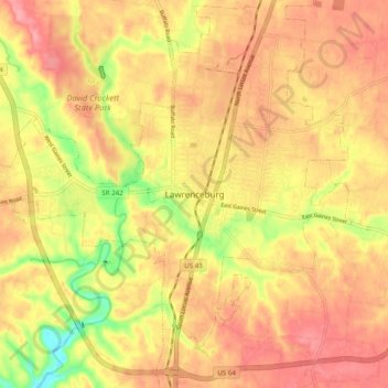
Name: Topografische Karte Lawrenceburg, Höhe, Relief.
Durchschnittliche Höhe: 278 m
Minimale Höhe: 213 m
Maximale Höhe: 317 m