
Topografische Karte Una
Klicken Sie auf die Karte, um die Höhe anzuzeigen.
Una
Una is located on the bank of the Machchundri river. It has an average elevation of 14 metres (46 feet). Kodinar is located to the west, and Diu is to the south. Una has the highest number of villages of all the Talukas in Gujarat state.
Über diese Karte
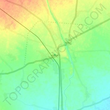
Name: Topografische Karte Una, Höhe, Relief.
Ort: Una, Una Taluka, Gir Somnath, Gujarat, 362560, India (20.77989 70.99916 20.85989 71.07916)
Durchschnittliche Höhe: 25 m
Minimale Höhe: 8 m
Maximale Höhe: 48 m