
Topografische Karte Moulin de Commagny
Interaktive Karte
Klicken Sie auf die Karte, um die Höhe anzuzeigen.
Über diese Karte
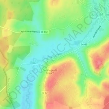
Name: Topografische Karte Moulin de Commagny, Höhe, Relief.
Durchschnittliche Höhe: 245 m
Minimale Höhe: 211 m
Maximale Höhe: 287 m