
Topografische Karte Airport Road
Interaktive Karte
Klicken Sie auf die Karte, um die Höhe anzuzeigen.
Über diese Karte
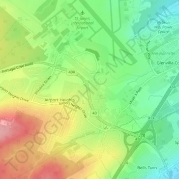
Name: Topografische Karte Airport Road, Höhe, Relief.
Durchschnittliche Höhe: 145 m
Minimale Höhe: 90 m
Maximale Höhe: 216 m
Andere topografische Karten
Klicken Sie auf eine Karte, um ihre Topografie, ihre Höhe und ihr Relief anzuzeigen.
St. John's
Canada > Newfoundland and Labrador > St. John's
St. John's, Newfoundland, Newfoundland and Labrador, A1C 2G4, Canada
Durchschnittliche Höhe: 66 m
Blackhead
Canada > Newfoundland and Labrador > St. John's > Blackhead
Blackhead, St. John's, Newfoundland and Labrador, Canada
Durchschnittliche Höhe: 48 m