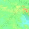
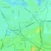
Topografische Karte Esperance
Klicken Sie auf die Karte, um die Höhe anzuzeigen.
Über diese Karte

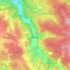
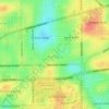
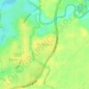
Name: Topografische Karte Esperance, Höhe, Relief.
Ort: Esperance, Western Australia, 6450, Australia (-33.89823 121.85316 -33.81823 121.93316)
Durchschnittliche Höhe: 8 m
Minimale Höhe: -2 m
Maximale Höhe: 91 m
Andere topografische Karten
Klicken Sie auf eine Karte, um ihre Topografie, ihre Höhe und ihr Relief anzuzeigen.





Katanning
Katanning railway station has an elevation of 1,024 feet (312 m) above sea level and a rail distance of 225 miles (362 km) from Perth.
Durchschnittliche Höhe: 323 m




The Vines
Topographically, The Vines sits on a gradual incline that descends towards the Ellen Brook valley. The west of the suburb sits at 30 metres above sea level, dropping to 20 metres in the east around the brook and the Sawpit Gully.
Durchschnittliche Höhe: 27 m