
Topografische Karte Municipal Unit of Cholargos
Interaktive Karte
Klicken Sie auf die Karte, um die Höhe anzuzeigen.
Über diese Karte
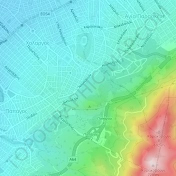
Name: Topografische Karte Municipal Unit of Cholargos, Höhe, Relief.
Durchschnittliche Höhe: 298 m
Minimale Höhe: 181 m
Maximale Höhe: 724 m