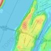
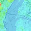
Topografische Karte Fort Tryon Park
Klicken Sie auf die Karte, um die Höhe anzuzeigen.
Fort Tryon Park
In preparation for converting the land into a city park, Rockefeller hired the Olmsted Brothers firm, particularly Frederick Law Olmsted Jr., son of the designer of Central Park. Olmsted's design capitalized on the topography to reveal sweeping vistas of the Hudson River and the Palisades. Olmsted Jr. was guided by the four principles of park design that his father had established in creating Central Park: the beautiful, as seen in small open lawns; the picturesque, as shown in wooded slopes; the sublime, represented in the vistas of the Hudson River; and the gardenesque, exemplified by the park's Heather and Alpine Gardens. Olmsted Jr. had a preliminary report in 1927 and conducted a more exhaustive study in 1928-1930. In addition, James W. Dawson was hired to create a park-planting plan.
Über diese Karte
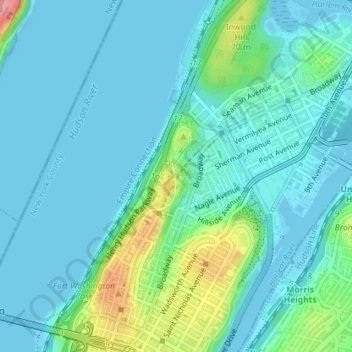
Name: Topografische Karte Fort Tryon Park, Höhe, Relief.
Durchschnittliche Höhe: 20 m
Minimale Höhe: -2 m
Maximale Höhe: 106 m
Andere topografische Karten
Klicken Sie auf eine Karte, um ihre Topografie, ihre Höhe und ihr Relief anzuzeigen.
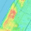
Morningside Park
United States > New York > New York County > New York
Dutch settlers occupied Manhattan in the early 17th century and called the area around Morningside Park Vredendal, meaning 'peaceful dale'. The lowlands to the east were called Flacken by the Dutch, and were later translated to "Flats" in English. The land to the east was not settled initially because of its…
Durchschnittliche Höhe: 20 m
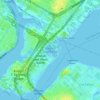
Randalls Island Park
United States > New York > New York County > New York
Durchschnittliche Höhe: 5 m
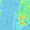
Hunter’s Point South Waterfront Park
United States > New York > New York County > New York
Durchschnittliche Höhe: 5 m