
Topografische Karte Soquel Demonstration State Forest
Interaktive Karte
Klicken Sie auf die Karte, um die Höhe anzuzeigen.
Über diese Karte
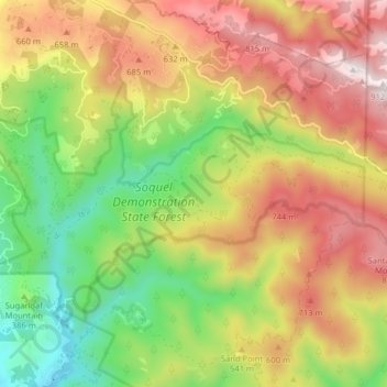
Name: Topografische Karte Soquel Demonstration State Forest, Höhe, Relief.
Durchschnittliche Höhe: 477 m
Minimale Höhe: 83 m
Maximale Höhe: 909 m