
Topografische Karte San Isabel National Forest
Interaktive Karte
Klicken Sie auf die Karte, um die Höhe anzuzeigen.
Über diese Karte
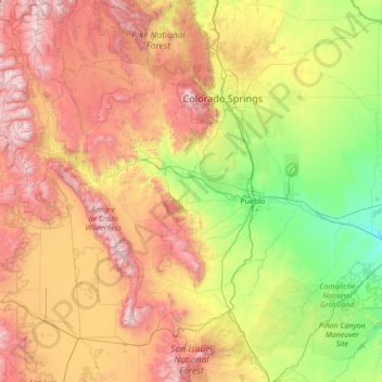
Name: Topografische Karte San Isabel National Forest, Höhe, Relief.
Durchschnittliche Höhe: 2.240 m
Minimale Höhe: 1.263 m
Maximale Höhe: 4.355 m