
Topografische Karte Champguyon
Interaktive Karte
Klicken Sie auf die Karte, um die Höhe anzuzeigen.
Champguyon
Champguyon (French pronunciation: [ʃɑ̃ɡɥijɔ̃]) is a commune in the Marne department, Grand Est region, in north-eastern France. The commune has an area of 16.63 km2 and its altitude ranges from 159 to 214 meters. The nearest larger towns are Esternay (4 km to the south) and Sézanne (14 km to the southeast). As of 2019, there were 146 dwellings in Champguyon, of which 109 main residences.
Über diese Karte
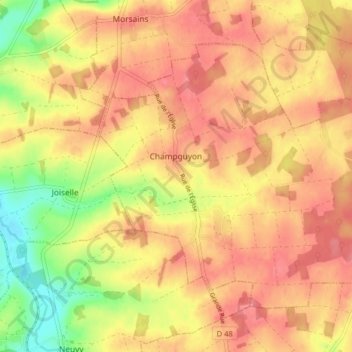
Name: Topografische Karte Champguyon, Höhe, Relief.
Durchschnittliche Höhe: 181 m
Minimale Höhe: 135 m
Maximale Höhe: 206 m
Andere topografische Karten
Klicken Sie auf eine Karte, um ihre Topografie, ihre Höhe und ihr Relief anzuzeigen.