
Topografische Karte Cheriton
Interaktive Karte
Klicken Sie auf die Karte, um die Höhe anzuzeigen.
Über diese Karte
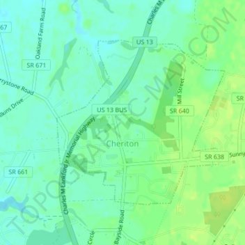
Name: Topografische Karte Cheriton, Höhe, Relief.
Ort: Cheriton, Northampton County, Virginia, United States (37.28280 -75.98051 37.30096 -75.95714)
Durchschnittliche Höhe: 7 m
Minimale Höhe: 0 m
Maximale Höhe: 14 m
Andere topografische Karten
Klicken Sie auf eine Karte, um ihre Topografie, ihre Höhe und ihr Relief anzuzeigen.
Cape Charles
United States > Virginia > Northampton County
Cape Charles, Northampton County, Virginia, United States
Durchschnittliche Höhe: 2 m
Oyster
United States > Virginia > Northampton County
Oyster, Northampton County, Virginia, 23316, United States
Durchschnittliche Höhe: 4 m
Exmore
United States > Virginia > Northampton County > Exmore
Exmore, Northampton County, Virginia, United States
Durchschnittliche Höhe: 8 m