
Topografische Karte St. Helena Island
Interaktive Karte
Klicken Sie auf die Karte, um die Höhe anzuzeigen.
Über diese Karte
Name: Topografische Karte St. Helena Island, Höhe, Relief.
Durchschnittliche Höhe: 115 m
Minimale Höhe: 72 m
Maximale Höhe: 299 m
Andere topografische Karten
Klicken Sie auf eine Karte, um ihre Topografie, ihre Höhe und ihr Relief anzuzeigen.
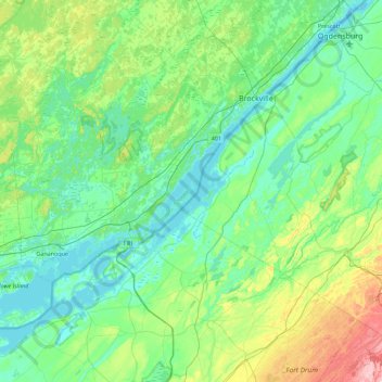
Mallorytown
Canada > Ontario > Leeds and Grenville Counties > Front of Yonge
Mallorytown, Front of Yonge, Leeds and Grenville Counties, Eastern Ontario, Ontario, K0E 1R0, Canada
Durchschnittliche Höhe: 98 m