
Topografische Karte Velká Deštná
Interaktive Karte
Klicken Sie auf die Karte, um die Höhe anzuzeigen.
Velká Deštná
Velká Deštná (German: Deschneyer Großkoppe) is a mountain in the Hradec Králové Region of the Czech Republic. With an elevation of 1,116 m (3,661 ft), it is the highest mountain of the Orlické Mountains and of the whole Central Sudetes range. There is an observation tower on top of the mountain, which is one of the most visited observation towers in the country
Über diese Karte
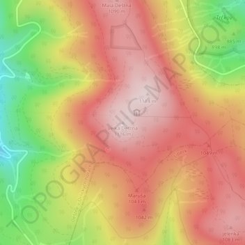
Name: Topografische Karte Velká Deštná, Höhe, Relief.
Durchschnittliche Höhe: 962 m
Minimale Höhe: 727 m
Maximale Höhe: 1.112 m