
Topografische Karte Dholka
Interaktive Karte
Klicken Sie auf die Karte, um die Höhe anzuzeigen.
Dholka
Dholka is a city and municipality in the Ahmedabad District of the Indian state of Gujarat. It is the headquarters of Dholka Taluka, and is 48 km by road via National Highway 8A southwest of the city of Ahmedabad. Dholka has an average elevation of 17 metres (56 ft).
Über diese Karte
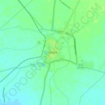
Name: Topografische Karte Dholka, Höhe, Relief.
Durchschnittliche Höhe: 22 m
Minimale Höhe: 17 m
Maximale Höhe: 27 m