
Topografische Karte Maipo
Interaktive Karte
Klicken Sie auf die Karte, um die Höhe anzuzeigen.
Über diese Karte
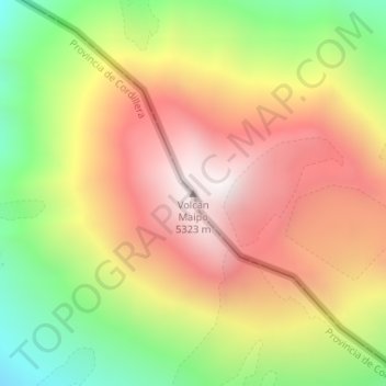
Name: Topografische Karte Maipo, Höhe, Relief.
Durchschnittliche Höhe: 4.747 m
Minimale Höhe: 4.154 m
Maximale Höhe: 5.266 m
The region's climate is transitional between the drier Mediterranean climate of the peaks to the north and the cold, moist climate of Chilean Patagonia. Hence, while less glaciated than Patagonia, it has more permanent snow on the wet, Chilean side than peaks of similar elevation to the north.