
Topografische Karte Acklocknayke (historical)
Interaktive Karte
Klicken Sie auf die Karte, um die Höhe anzuzeigen.
Über diese Karte
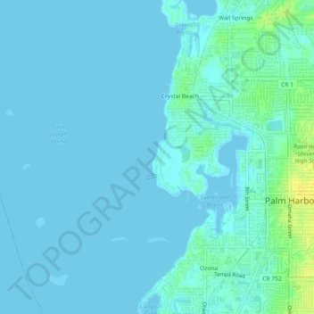
Name: Topografische Karte Acklocknayke (historical), Höhe, Relief.
Durchschnittliche Höhe: 3 m
Minimale Höhe: -1 m
Maximale Höhe: 20 m
Andere topografische Karten
Klicken Sie auf eine Karte, um ihre Topografie, ihre Höhe und ihr Relief anzuzeigen.
Lake Shore Estates
United States > Florida > Pinellas County > Palm Harbor
Lake Shore Estates, Palm Harbor, Pinellas County, Florida, 34684, United States
Durchschnittliche Höhe: 9 m
Honeymoon Island Dog Beach
United States > Florida > Pinellas County > Palm Harbor
Honeymoon Island Dog Beach, Causeway Boulevard, Palm Harbor, Pinellas County, Florida, 34660, United States
Durchschnittliche Höhe: 0 m