
Topografische Karte Guéret
Interaktive Karte
Klicken Sie auf die Karte, um die Höhe anzuzeigen.
Guéret
Guéret has an oceanic climate (Köppen Cfb) influenced by its elevation and proximity to the Bay of Biscay's maritime inflow of Gulf Stream air. As a result, the climate is mild for its latitude, wet and also relatively gloomy.
Über diese Karte
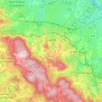
Name: Topografische Karte Guéret, Höhe, Relief.
Durchschnittliche Höhe: 473 m
Minimale Höhe: 308 m
Maximale Höhe: 689 m