
Topografische Karte Toquepala Caves
Interaktive Karte
Klicken Sie auf die Karte, um die Höhe anzuzeigen.
Toquepala Caves
Situated in the western Andes, they are in the Moquegua Region of the Osmore River. Located at an elevation of 2,200 m (7,200 ft) (2,800 m (9,200 ft) is also mentioned in another source[1]), they are two small caves each 15 m × 5 m (49 ft × 16 ft) in size, with a depth of 5 m (16 ft). The two Toquepala Caves in the high Sierra are located near the Quebrada Cimarron or along the Rio Locumba, which is a dry stream flowing from the Sierra to the desert.[2] The best known of the caves is "Abrigo del Diablo".[3]
Über diese Karte
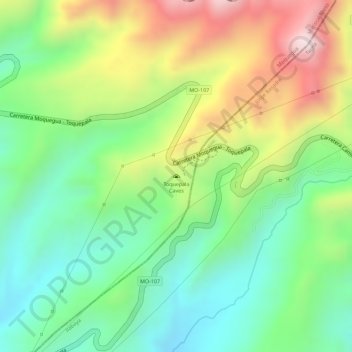
Name: Topografische Karte Toquepala Caves, Höhe, Relief.
Durchschnittliche Höhe: 2.258 m
Minimale Höhe: 2.061 m
Maximale Höhe: 2.541 m