
Topografische Karte Ocracoke
Interaktive Karte
Klicken Sie auf die Karte, um die Höhe anzuzeigen.
Über diese Karte
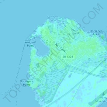
Name: Topografische Karte Ocracoke, Höhe, Relief.
Ort: Ocracoke, Hyde County, North Carolina, United States (35.10237 -75.98994 35.12078 -75.96104)
Durchschnittliche Höhe: 1 m
Minimale Höhe: -2 m
Maximale Höhe: 5 m
Andere topografische Karten
Klicken Sie auf eine Karte, um ihre Topografie, ihre Höhe und ihr Relief anzuzeigen.
Ocracoke
United States > North Carolina > Hyde County > Ocracoke
Ocracoke, Hyde County, North Carolina, 27960, United States
Durchschnittliche Höhe: 1 m
Ocracoke Island
United States > North Carolina > Hyde County > Ocracoke
Ocracoke Island, Ocracoke, Hyde County, North Carolina, United States
Durchschnittliche Höhe: 0 m