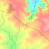
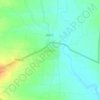
Topografische Karte Ajanta
Klicken Sie auf die Karte, um die Höhe anzuzeigen.
Über diese Karte

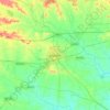
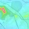
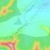
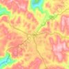
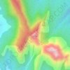
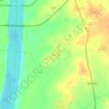
Name: Topografische Karte Ajanta, Höhe, Relief.
Ort: Ajanta, Aurangabad District, Maharashtra, 431138, India (20.52647 75.74523 20.53569 75.75455)
Durchschnittliche Höhe: 578 m
Minimale Höhe: 492 m
Maximale Höhe: 603 m
Andere topografische Karten
Klicken Sie auf eine Karte, um ihre Topografie, ihre Höhe und ihr Relief anzuzeigen.
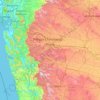
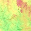
Nagpur
Nagpur is located at the exact centre of the Indian subcontinent, close to the geometric centre of the quadrilateral connecting the four major metros of India, viz. Chennai, Mumbai, New Delhi and Kolkata. The city has the Zero Mile Stone locating the geographical centre of India, which was used by the British…
Durchschnittliche Höhe: 309 m
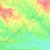
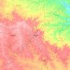
Solapur
India > Maharashtra > Solapur North
Solapur is located at 17°41′N 75°55′E / 17.68°N 75.92°E / 17.68; 75.92. It has an average elevation of 458 metres (1502 feet). It is bordered by Ahmednagar district on the north; Osmanabad district on the north and northeast.
Durchschnittliche Höhe: 469 m



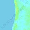
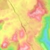
Sanjay Gandhi (Borivilli) National Park
India > Maharashtra > Thane > Mumbai
The region is hilly with elevations between 30 and 480 m (98 and 1,575 ft). The park has two lakes, Vihar Lake and Tulsi Lake, which meet a part of the city's water requirements. The park is said to be the lungs of the city as it purifies much of the air pollution of the city.
Durchschnittliche Höhe: 42 m




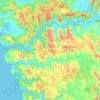
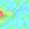
Ramtek Taluka
Ramtek is located at 21°24′N 79°20′E / 21.4°N 79.33°E / 21.4; 79.33. It has an average elevation of 345 metres (1131 feet). It is located at a distance of around 50 km from Nagpur. Khindasi lake is one of the important tourist attractions at Ramtek.
Durchschnittliche Höhe: 368 m







Nashik
The city's tropical location and high altitude combine to give it a relatively mild version of a hot semi-arid climate (Köppen BSh). Temperatures rise slightly in October, but this is followed by the cool season from November to February. The cool season sees warm temperatures of around 28 °C or 82.4 °F…
Durchschnittliche Höhe: 631 m



Malkapur
India > Maharashtra > Shahuwadi
Malkapur is located at 16°56′N 73°55′E / 16.93°N 73.92°E / 16.93; 73.92. It has an average elevation of 586 metres (1922 feet).
Durchschnittliche Höhe: 581 m