
Topografische Karte Owlshead
Interaktive Karte
Klicken Sie auf die Karte, um die Höhe anzuzeigen.
Über diese Karte
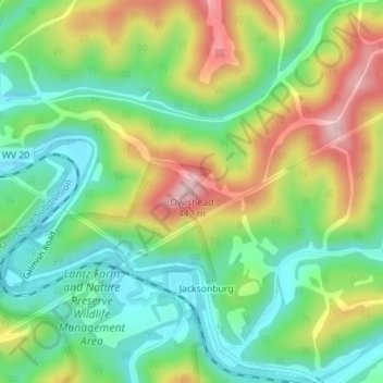
Name: Topografische Karte Owlshead, Höhe, Relief.
Durchschnittliche Höhe: 298 m
Minimale Höhe: 214 m
Maximale Höhe: 432 m
Andere topografische Karten
Klicken Sie auf eine Karte, um ihre Topografie, ihre Höhe und ihr Relief anzuzeigen.
Bomont
États-Unis > Virginie-Occidentale > Bomont
Bomont, Clay County, Virginie-Occidentale, 25030, États-Unis
Durchschnittliche Höhe: 326 m
Huntington
États-Unis > Virginie-Occidentale > Huntington
Huntington, Cabell County, Virginie-Occidentale, États-Unis
Durchschnittliche Höhe: 218 m
Falling Waters
États-Unis > Virginie-Occidentale > Falling Waters
Falling Waters, Berkeley County, Virginie-Occidentale, 25419, États-Unis
Durchschnittliche Höhe: 134 m