
Topografische Karte City and County of Broomfield
Interaktive Karte
Klicken Sie auf die Karte, um die Höhe anzuzeigen.
Über diese Karte
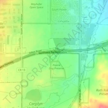
Name: Topografische Karte City and County of Broomfield, Höhe, Relief.
Ort: City and County of Broomfield, Colorado, USA (39.95620 -105.10908 39.95912 -105.09073)
Durchschnittliche Höhe: 1.605 m
Minimale Höhe: 1.579 m
Maximale Höhe: 1.641 m