
Topografische Karte Maxwell
Interaktive Karte
Klicken Sie auf die Karte, um die Höhe anzuzeigen.
Über diese Karte
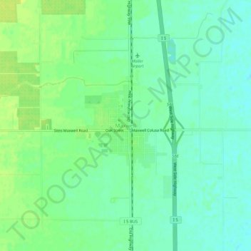
Name: Topografische Karte Maxwell, Höhe, Relief.
Durchschnittliche Höhe: 27 m
Minimale Höhe: 19 m
Maximale Höhe: 36 m
Andere topografische Karten
Klicken Sie auf eine Karte, um ihre Topografie, ihre Höhe und ihr Relief anzuzeigen.
Williams
États-Unis d'Amérique > Californie > Colusa County
Williams, Colusa County, Californie, 95987, États-Unis d'Amérique
Durchschnittliche Höhe: 26 m
Arbuckle
États-Unis d'Amérique > Californie > Colusa County
Arbuckle, Colusa County, Californie, 95912, États-Unis d'Amérique
Durchschnittliche Höhe: 42 m