
Topografische Karte Le Hamel Godard
Interaktive Karte
Klicken Sie auf die Karte, um die Höhe anzuzeigen.
Über diese Karte
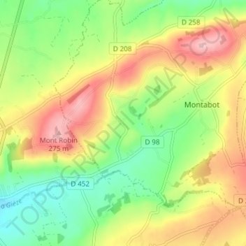
Name: Topografische Karte Le Hamel Godard, Höhe, Relief.
Durchschnittliche Höhe: 185 m
Minimale Höhe: 108 m
Maximale Höhe: 278 m