
Topografische Karte Roya
Interaktive Karte
Klicken Sie auf die Karte, um die Höhe anzuzeigen.
Über diese Karte
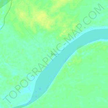
Name: Topografische Karte Roya, Höhe, Relief.
Ort: Roya, Iparía, Province of Coronel Portillo, Ucayali, Peru (-9.23915 -74.42578 -9.19915 -74.38578)
Durchschnittliche Höhe: 158 m
Minimale Höhe: 150 m
Maximale Höhe: 167 m
Andere topografische Karten
Klicken Sie auf eine Karte, um ihre Topografie, ihre Höhe und ihr Relief anzuzeigen.
Mar de Plata
Mar de Plata, Neshuya, Province of Padre Abad, Ucayali, Peru
Durchschnittliche Höhe: 207 m
Mar de Plata
Peru > Ucayali > Neshuya > Mar de Plata
Mar de Plata, Neshuya, Province of Padre Abad, Ucayali, Peru
Durchschnittliche Höhe: 224 m
Puerto Callao
Peru > Ucayali > Yarinacocha > Puerto Callao
Puerto Callao, Yarinacocha, Province of Coronel Portillo, Ucayali, 250105, Peru
Durchschnittliche Höhe: 147 m