
Topografische Karte Isalo National Park
Interaktive Karte
Klicken Sie auf die Karte, um die Höhe anzuzeigen.
Isalo National Park
Isalo National Park is a National Park in the Ihorombe Region of Madagascar, in the southwestern corner of the Province of Fianarantsoa. The closest town is Ranohira, and the closest cities are Toliara and Ihosy. It is a sandstone landscape that has been dissected by wind and water erosion into rocky outcrops, plateaus, extensive plains and up to 200 m (660 ft) deep canyons. There are permanent rivers and streams as well as many seasonal watercourses. Elevation varies between 510 and 1,268 m (1,673 and 4,160 ft).
Über diese Karte
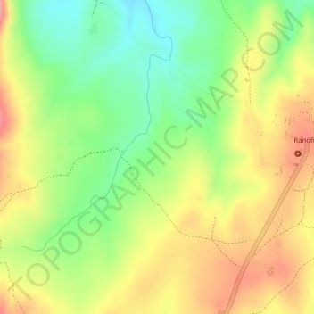
Name: Topografische Karte Isalo National Park, Höhe, Relief.
Durchschnittliche Höhe: 803 m
Minimale Höhe: 746 m
Maximale Höhe: 855 m