
Topografische Karte La Bastide-Clairence
Interaktive Karte
Klicken Sie auf die Karte, um die Höhe anzuzeigen.
Über diese Karte
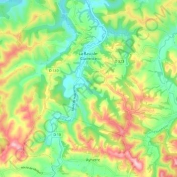
Name: Topografische Karte La Bastide-Clairence, Höhe, Relief.
Durchschnittliche Höhe: 83 m
Minimale Höhe: 5 m
Maximale Höhe: 198 m
Agnescous est un hameau mentionné en 1863 dans le dictionnaire topographique Béarn-Pays basque. Pessarou est noté Pessarrou par Paul Raymond.