
Topografische Karte Middle Fork of Wildcat Creek
Interaktive Karte
Klicken Sie auf die Karte, um die Höhe anzuzeigen.
Über diese Karte
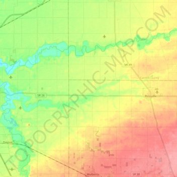
Name: Topografische Karte Middle Fork of Wildcat Creek, Höhe, Relief.
Durchschnittliche Höhe: 215 m
Minimale Höhe: 174 m
Maximale Höhe: 256 m
Andere topografische Karten
Klicken Sie auf eine Karte, um ihre Topografie, ihre Höhe und ihr Relief anzuzeigen.
Mount Etna
USA > Indiana > Mount Etna
Mount Etna, Huntington County, Indiana, USA
Durchschnittliche Höhe: 245 m
Fort Wayne
USA > Indiana > Fort Wayne
Fort Wayne, Allen County, Indiana, USA
Durchschnittliche Höhe: 246 m