
Topografische Karte Ochtiná
Interaktive Karte
Klicken Sie auf die Karte, um die Höhe anzuzeigen.
Über diese Karte
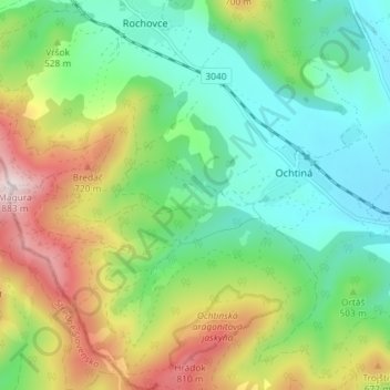
Name: Topografische Karte Ochtiná, Höhe, Relief.
Durchschnittliche Höhe: 503 m
Minimale Höhe: 307 m
Maximale Höhe: 880 m
The village lies at an altitude of 344 metres and covers an area of 14.481 km². It has a population of about 550 people.