
Topografische Karte Pavagada
Interaktive Karte
Klicken Sie auf die Karte, um die Höhe anzuzeigen.
Über diese Karte
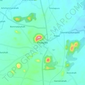
Name: Topografische Karte Pavagada, Höhe, Relief.
Durchschnittliche Höhe: 643 m
Minimale Höhe: 599 m
Maximale Höhe: 910 m
Pavagada is located at 14°06′N 77°16′E / 14.1°N 77.27°E / 14.1; 77.27. It has an average elevation of 646 metres (2,119 feet).