
Topografische Karte Indiana
Interaktive Karte
Klicken Sie auf die Karte, um die Höhe anzuzeigen.
Indiana
The average altitude of Indiana is about 760 feet (230 m) above sea level. The highest point in the state is Hoosier Hill in Wayne County at 1,257 feet (383 m) above sea level. The lowest point at 320 feet (98 m) above sea level is in Posey County, where the Wabash River meets the Ohio River. The resulting elevation span, 937 feet (286 m), is the narrowest of any non-coastal US state. Only 2,850 square miles (7,400 km2) have an altitude greater than 1,000 feet (300 m) and this area is enclosed within 14 counties. About 4,700 square miles (12,000 km2) have an elevation of less than 500 feet (150 m), mostly concentrated along the Ohio and lower Wabash Valleys, from Tell City and Terre Haute to Evansville and Mount Vernon.
Über diese Karte
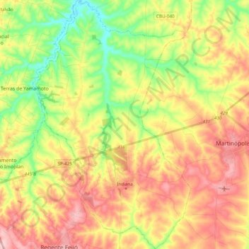
Name: Topografische Karte Indiana, Höhe, Relief.
Durchschnittliche Höhe: 428 m
Minimale Höhe: 332 m
Maximale Höhe: 524 m