
Topografische Karte Veľký Biel
Interaktive Karte
Klicken Sie auf die Karte, um die Höhe anzuzeigen.
Über diese Karte
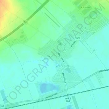
Name: Topografische Karte Veľký Biel, Höhe, Relief.
Durchschnittliche Höhe: 130 m
Minimale Höhe: 121 m
Maximale Höhe: 153 m
The municipality lies at an altitude of 131 metres and covers an area of 10.161 km². It has a population of 2303 people.
Andere topografische Karten
Klicken Sie auf eine Karte, um ihre Topografie, ihre Höhe und ihr Relief anzuzeigen.
Chorvátsky Grob
Slovakia > Region of Bratislava > District of Senec
Chorvátsky Grob, District of Senec, Region of Bratislava, 900 25, Slovakia
Durchschnittliche Höhe: 139 m
Chorvátsky Grob
Slovakia > Region of Bratislava > District of Senec > Chorvátsky Grob > Chorvátsky Grob
Chorvátsky Grob, District of Senec, Region of Bratislava, 900 25, Slovakia
Durchschnittliche Höhe: 141 m