
Topografische Karte Matúškovo
Interaktive Karte
Klicken Sie auf die Karte, um die Höhe anzuzeigen.
Über diese Karte
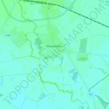
Name: Topografische Karte Matúškovo, Höhe, Relief.
Durchschnittliche Höhe: 117 m
Minimale Höhe: 114 m
Maximale Höhe: 122 m
The municipality lies at an elevation of 118 metres and covers an area of 11.954 km². It has a population of about 1938 people.