

Topografische Karte Tehatta
Klicken Sie auf die Karte, um die Höhe anzuzeigen.
Tehatta
Nadia district is mostly alluvial plains lying to the east of Hooghly River, locally known as Bhagirathi. The alluvial plains are cut across by such distributaries as Jalangi, Churni and Ichhamati. With these rivers getting silted up, floods are a recurring feature. The Tehatta subdivision, presented in the map alongside, is topographically part of the Nadia Plain North. The Jalangi River forms the district/ subdivision border in the north-western part and then flows through the subdivision. The other important rivers are Mathabhanga and Bhairab. The eastern portion forms the boundary with Bangladesh. The subdivision is overwhelmingly rural. 97.15% of the population lives in the rural areas and 2.85% lives in the urban areas.
Über diese Karte
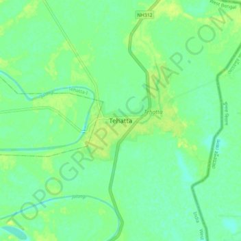
Name: Topografische Karte Tehatta, Höhe, Relief.
Ort: Tehatta, Tehatta-I, Nadia, West Bengal, 741160, India (23.57391 88.37336 23.89391 88.69336)
Durchschnittliche Höhe: 14 m
Minimale Höhe: 6 m
Maximale Höhe: 25 m