
Topografische Karte Dicalatan Island (Pass Island)
Interaktive Karte
Klicken Sie auf die Karte, um die Höhe anzuzeigen.
Über diese Karte
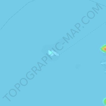
Name: Topografische Karte Dicalatan Island (Pass Island), Höhe, Relief.
Durchschnittliche Höhe: 0 m
Minimale Höhe: 0 m
Maximale Höhe: 46 m
Andere topografische Karten
Klicken Sie auf eine Karte, um ihre Topografie, ihre Höhe und ihr Relief anzuzeigen.
Darab Island
Philippines > Palawan > Culion
Darab Island, Culion, Palawan, Mimaropa, Philippines
Durchschnittliche Höhe: 26 m
Lato island
Philippines > Palawan > Culion
Lato island, Culion, Palawan, Mimaropa, 5315, Philippines
Durchschnittliche Höhe: 14 m
Culion
Philippines > Palawan > Culion
Culion, Palawan, Mimaropa, 5315, Philippines
Durchschnittliche Höhe: 44 m
Galoc Island
Philippines > Palawan > Culion
Galoc Island, Culion, Palawan, Mimaropa, 5315, Philippines
Durchschnittliche Höhe: 9 m