
Topografische Karte Lake Village
Interaktive Karte
Klicken Sie auf die Karte, um die Höhe anzuzeigen.
Über diese Karte
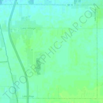
Name: Topografische Karte Lake Village, Höhe, Relief.
Ort: Lake Village, Newton County, Indiana, 46349, United States (41.11556 -87.46262 41.14489 -87.42005)
Durchschnittliche Höhe: 201 m
Minimale Höhe: 196 m
Maximale Höhe: 207 m
Andere topografische Karten
Klicken Sie auf eine Karte, um ihre Topografie, ihre Höhe und ihr Relief anzuzeigen.
Perkins
United States > Indiana > Newton County
Perkins, Newton County, Indiana, United States
Durchschnittliche Höhe: 211 m
Morocco
United States > Indiana > Newton County
Morocco, Newton County, Indiana, 47963, United States
Durchschnittliche Höhe: 211 m
Goodland
United States > Indiana > Newton County > Goodland
Goodland, Newton County, Indiana, United States
Durchschnittliche Höhe: 222 m
Iroquois River
United States > Indiana > Newton County
Iroquois River, Newton County, Indiana, 60970, United States
Durchschnittliche Höhe: 201 m