
Topografische Karte Cromlechs d'Okabé
Interaktive Karte
Klicken Sie auf die Karte, um die Höhe anzuzeigen.
Über diese Karte
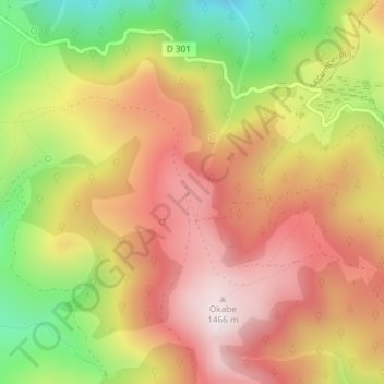
Name: Topografische Karte Cromlechs d'Okabé, Höhe, Relief.
Durchschnittliche Höhe: 1.187 m
Minimale Höhe: 826 m
Maximale Höhe: 1.463 m