
Topografische Karte Whapmagoostui (Category I Land)
Interaktive Karte
Klicken Sie auf die Karte, um die Höhe anzuzeigen.
Über diese Karte
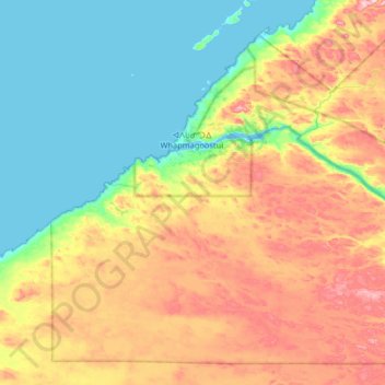
Name: Topografische Karte Whapmagoostui (Category I Land), Höhe, Relief.
Durchschnittliche Höhe: 91 m
Minimale Höhe: -1 m
Maximale Höhe: 258 m