
Topografische Karte Kibber
Interaktive Karte
Klicken Sie auf die Karte, um die Höhe anzuzeigen.
Kibber
Kibber is the last village in Spiti on the traditional trade route to Ladakh and Tibet. One of the earliest descriptions is by botanist Thomson based on his expedition in September 1847. The route crosses the Zanskar range through the Parang La (pass) at an altitude of 5,578 m (18,301 ft). It then descends along the Pare Chu (river) to Hanle and the Indus River. Thomson observed that houses in Kibber were constructed of stone, unlike the mud construction used in the rest of Spiti. He noted that farmers had terraced the hillside for 90 m (300 ft) above Kibber.
Über diese Karte
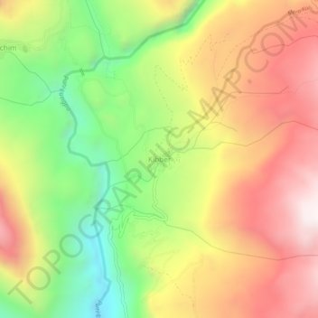
Name: Topografische Karte Kibber, Höhe, Relief.
Ort: Kibber, Spiti, Lahaul and Spiti, Himachal Pradesh, India (32.31218 77.98857 32.35218 78.02857)
Durchschnittliche Höhe: 4.230 m
Minimale Höhe: 3.712 m
Maximale Höhe: 4.729 m