

Topografische Karte New Mills
Klicken Sie auf die Karte, um die Höhe anzuzeigen.
New Mills
High Peak Borough Council have produced a Conservation Area Character Appraisal document, outlining the reasons that the Conservation Area has been designated as such. In justifying the reasons for designation, this document states of the town: "New Mills is a town of dramatic topography and origins that date back to the 14th century. Its topography and the supply of fast flowing waters led to its development as a thriving mill town and important centre for the textile industry. Its impressive landscape developed much of its developed form and the townscape that we still see today."
Über diese Karte
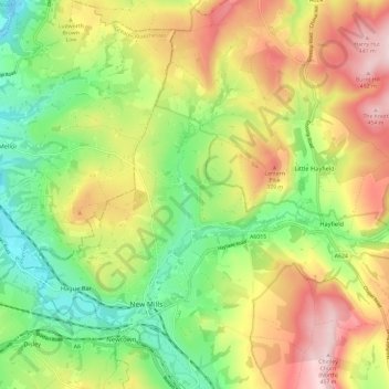
Name: Topografische Karte New Mills, Höhe, Relief.
Durchschnittliche Höhe: 251 m
Minimale Höhe: 90 m
Maximale Höhe: 455 m