

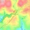
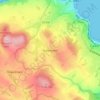
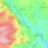
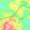
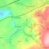
Topografische Karte St. Columb Major
Klicken Sie auf die Karte, um die Höhe anzuzeigen.
St. Columb Major
St Columb occupies a plateau at about 300 feet (91 m) elevation. The north part of the town (known as 'Bridge') descends into the Vale of Lanherne, having a minimum elevation of approximately 165 feet (50 m). It was originally a linear settlement built on the main road running north-east to south-west, but modern estates have since been built, extending the town to the south and east. In the older part of the settlement there is much high-density housing with relatively narrow streets, and a number of retail outlets and public houses; the more modern estates have housing which is generally lower in density. To the south there is an industrial estate.
Über diese Karte

Name: Topografische Karte St. Columb Major, Höhe, Relief.
Ort: St. Columb Major, Cornwall, England, United Kingdom (50.40005 -4.99488 50.47749 -4.87719)
Durchschnittliche Höhe: 110 m
Minimale Höhe: 14 m
Maximale Höhe: 214 m
Andere topografische Karten
Klicken Sie auf eine Karte, um ihre Topografie, ihre Höhe und ihr Relief anzuzeigen.


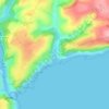
Bude
United Kingdom > England > Cornwall
Its earlier importance was as a harbour, and then a source of sea sand useful for improving the inland soil. This was transported on the Bude Canal. The Victorians favoured it as a seaside resort. With new rail links, it became a popular seaside destination in the 20th century. Bradshaw's Guide of 1866,…
Durchschnittliche Höhe: 41 m























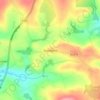
Higher Crackington
United Kingdom > England > Cornwall > Higher Crackington
Durchschnittliche Höhe: 130 m





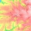


Downgate
United Kingdom > England > Cornwall > Caradon Town > Linkinhorne
Durchschnittliche Höhe: 224 m


